Posted By

About Us
Lorem ipsum dolor sit amet, consectetur elit, sed do eiusmod tempor incididunt ut labore et magna aliqua.
Get a free quote
Drones Over Pasar Sentral: Mapping the Environment to Protect Residents from Malaria
-

-
Published on
October 09, 2026
Timika, Central Papua – In Pasar Sentral Subdistrict, Mimika District, drones are now being used to view residential environments from the air. From late September to early October 2026, a team from the Oxford University Clinical Research Unit (OUCRU) Indonesia and its partners conducted drone-based spatial mapping to support the OPERA-TIMIKA pilot project.
Why Outdoor Malaria Transmission is a Challenge
For two decades, insecticide-treated nets and indoor residual spraying have driven down malaria rates. In Papua, however, a significant portion of transmission still occurs outdoors, when Anopheles mosquitoes bite during the early evening or while residents spend time in yards and surrounding domestic spaces. Protective measures operating inside the home do not reach this mode of transmission.
The OPERA-TIMIKA (Operational Feasibility and Effectiveness of Outdoor Protection for Household-Level Malaria Exposure in Timika) project is testing the feasibility and effectiveness of two complementary tools: spatial emanators, which passively release volatile active ingredients to reduce bites around residents, and insecticide-impregnated barriers, which impede mosquito movement from breeding sites into residential areas.
High-Resolution Maps as a Foundation
To execute and evaluate a field trial of this nature, the team requires an exact understanding of household locations, surrounding environmental conditions, and potential larval breeding sites within standing water or vegetation. Drone imagery addresses this need at a resolution and scale that are difficult to achieve through ground surveys alone.
In Pasar Sentral, the team conducted flight missions between 29 September and 1 October 2026, with morning and afternoon sessions. Pre-flight drone checks were performed before each flight, followed by ground reviews to verify features captured from above. Across a total of 6 missions, the drone covered an area of approximately 768 hectares (7.68 km²) at a resolution of roughly 2 to 3.8 cm per pixel.

Area terbang drone di Kelurahan Pasar Sentral, Timika, yang dibagi menjadi enam zona (Z1–Z6).
From the Field to the Map in Days
All processing was conducted on-site in the field. Between and after flight sessions, the team transferred and quality-checked data, stitched images into orthomosaics, and applied georeferencing. The outputs were reviewed in QGIS and linked to the household survey database covering every home in Pasar Sentral from July 2026. This real-time processing allowed map quality and coverage to be assessed immediately, enabling under-mapped areas to be re-flown without delay.
How the Maps Will Be Used
The resulting maps will be used to plot study households and intervention sites, identify potential Anopheles larval habitats, detect standing water that could serve as breeding grounds, and analyze relationships between environmental conditions, intervention coverage, and malaria risk. On 2 October, preliminary spatial analysis results were presented to local health authorities.
Multi-Stakeholder Engagement
The activity included representatives from UNICEF Indonesia alongside the Ministry of Health and the Mimika District Health Office, with a total of 9 participants. Beyond generating spatial data, the effort aimed to build local capacity in drone operations and spatial analysis, while developing standard operating procedures (SOPs) for drone-based environmental surveillance that can be applied in other malaria-endemic areas across Papua.
"In my view, ground surveys can be difficult for mapping due to access limitations; in urban settings, we cannot freely enter people's yards to confirm the presence of breeding sites. Drones allow us to capture environmental visuals easily and quickly. However, drones cannot detect whether larvae are present in a given site, distinguish fresh rainwater pools from long-standing water, or see through dense tree canopies and roofs. Therefore, drone mapping serves as the top layer for identifying candidate breeding locations, followed by a second layer of malaria case coordinates, and a third layer of ground mapping to confirm if high-case areas indeed harbor abundant Anopheles larvae." — Denih Sutardi, Ministry of Health of the Republic of Indonesia"Habitat mapping using drones is exceptionally helpful because it reaches difficult locations that field staff cannot access on foot." — Imelda Ohoiledjaan, Head of UPTD Malaria Center Mimika District"I learned how to fly the drone, configure automated flight paths, capture images, and process map data. However, due to hardware limitations on my laptop, handling the output habitat maps posed a challenge. Rollout in our operational areas will proceed gradually to locate new breeding sites across other health center catchment areas in Timika and Nabire, even if performed manually using drones." — Yulizar Kasma, UNICEF

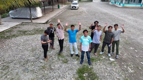
Dokumentasi: peserta dari berbagai instansi mengamati penerbangan drone di Kelurahan Pasar Sentral, Timika.

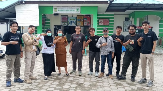
Dokumentasi: foto bersama peserta kegiatan bersama petugas di depan Puskesmas Pasar Sentral, Timika.

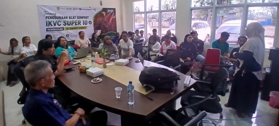
Dokumentasi: peserta menyiapkan peralatan drone dan perangkat pengolahan data sebelum dan sesudah penerbangan.
Tags:
Tags: