Posted By
About Us
Lorem ipsum dolor sit amet, consectetur elit, sed do eiusmod tempor incididunt ut labore et magna aliqua.
Get a free quote
Practical GIS Techniques to Accelerate Malaria Elimination in Keerom Regency
-

-
Published on
December 17, 2025
Infectious disease control, particularly for malaria, requires accurate spatial data to support effective program planning, monitoring, and evaluation. In regions with significant geographical challenges like Keerom Regency, the ability to visually map case distribution and intervention sites is key to informed decision-making. The use of Geographic Information System (GIS) technology allows health program managers to identify high-risk areas and allocate resources more precisely.
Through digital mapping, information regarding environmental risk factors and intervention coverage can be presented in easy-to-understand thematic maps. By transitioning from manual reporting to spatial-based analysis, disease elimination strategies can become more measurable and responsive to the dynamics of transmission in the field.
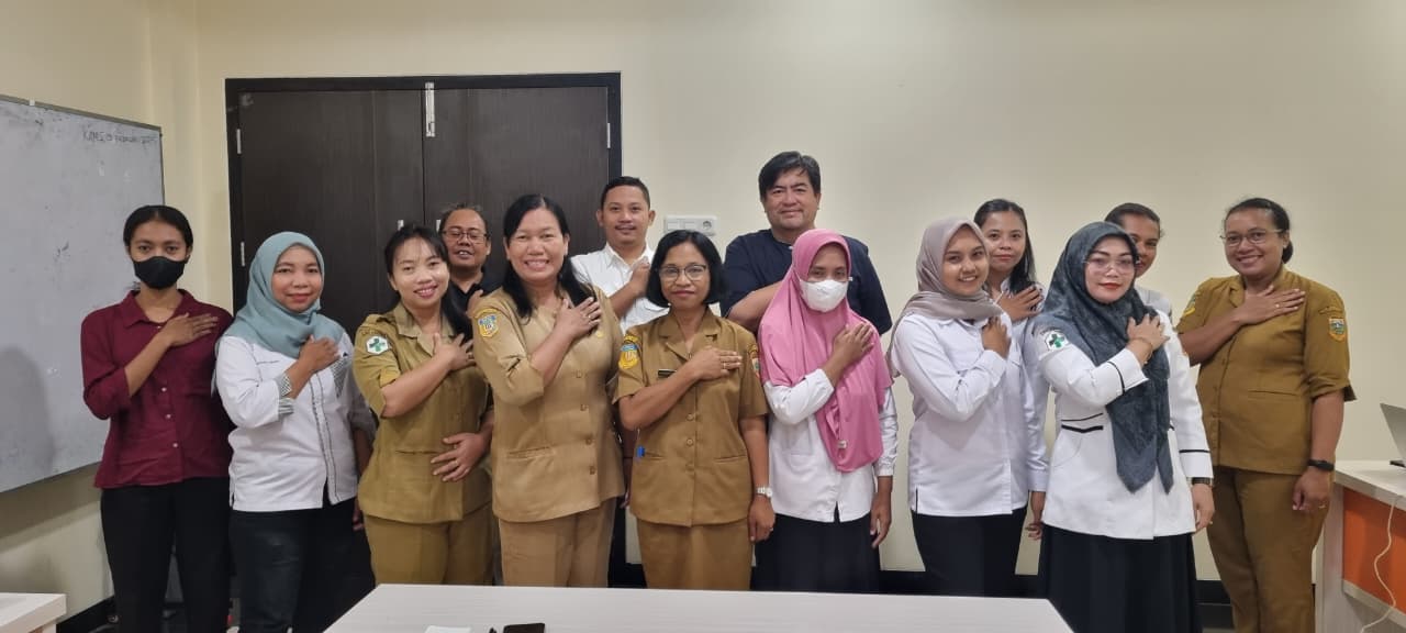
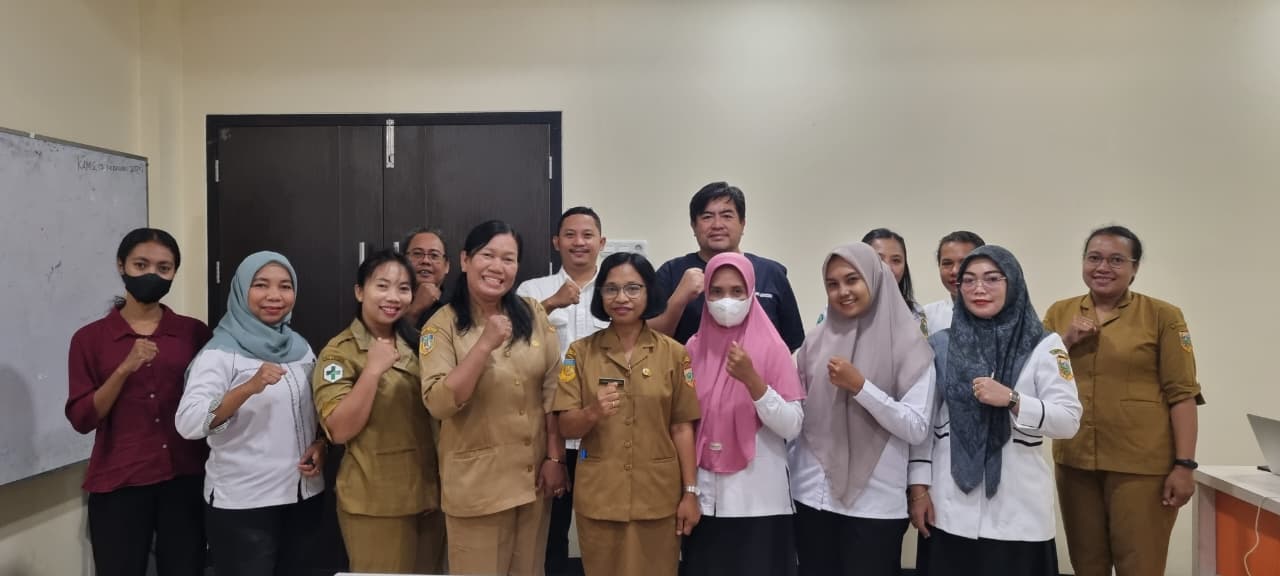
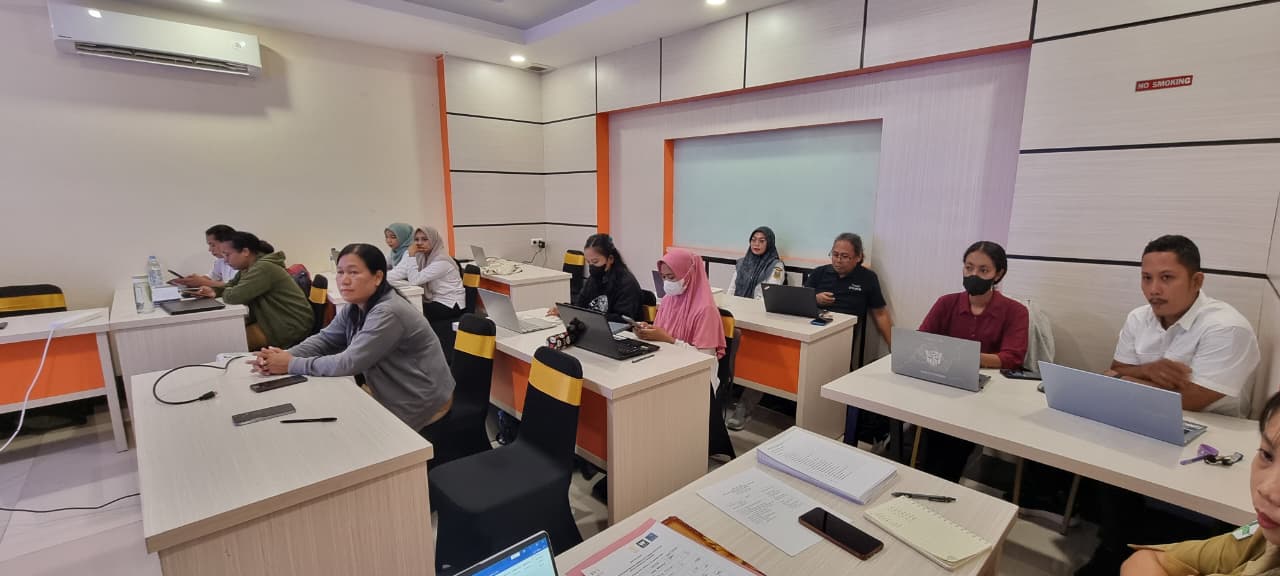
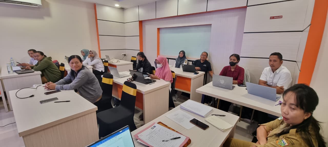
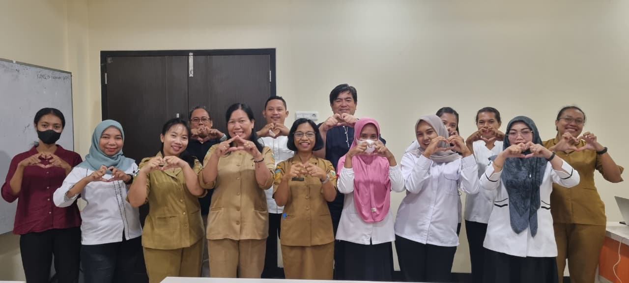
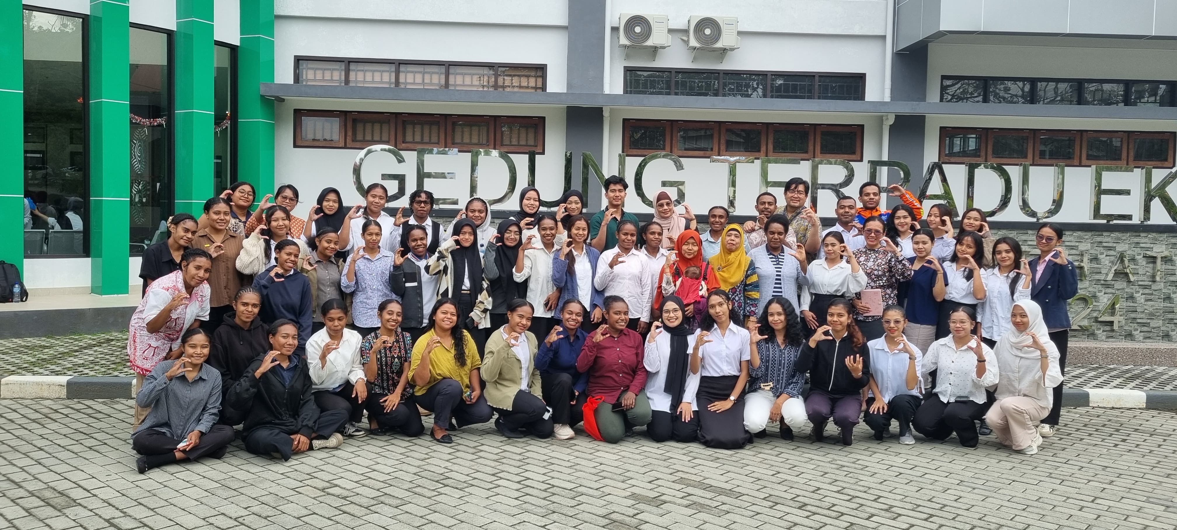
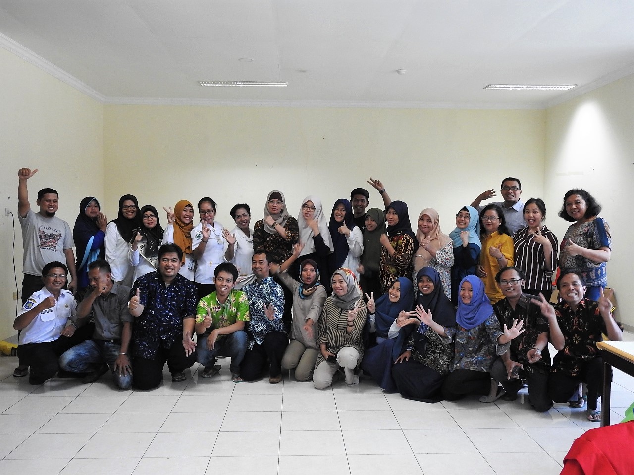
To strengthen this capacity, the SHIELD PAPUA program, in collaboration with the Keerom District Health Office, organized the "Refresher Training on Microplanning & Practical GIS Techniques for Program Managers." The event took place on Tuesday, December 16, 2025, at the Grand Arso Hotel, Keerom. The training was attended by 13 health program managers from various community health centers (Puskesmas) across Keerom.
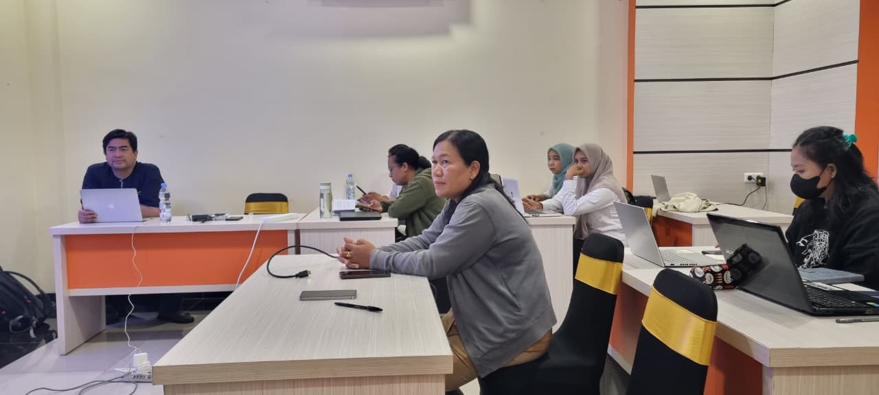
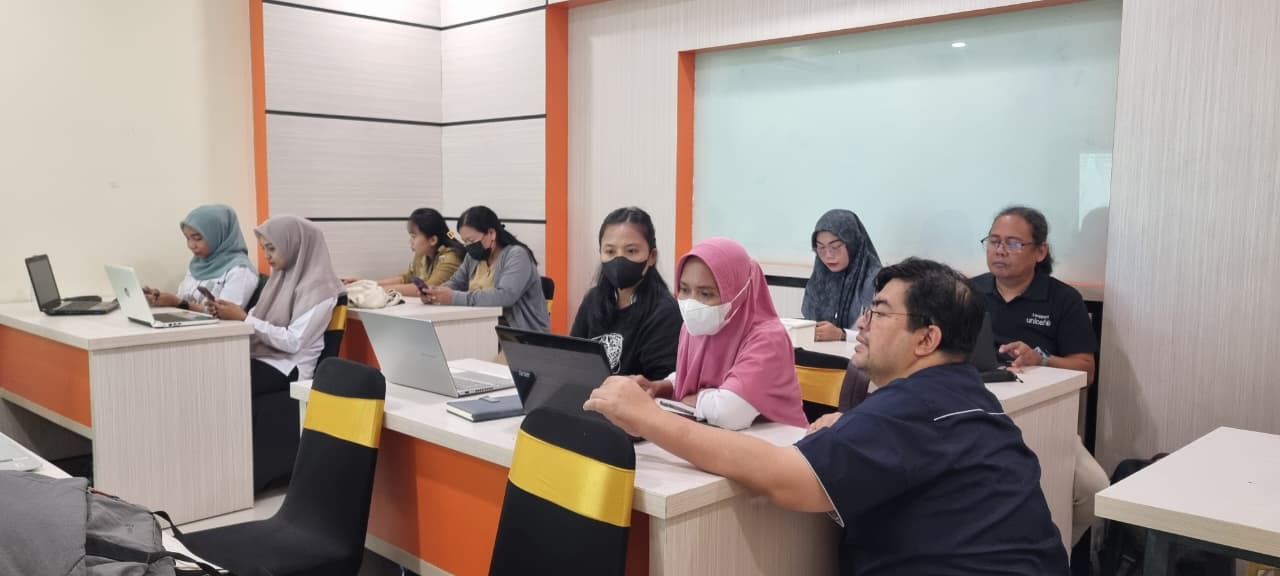
The workshop equipped participants with essential practical skills, including:
- Evidence-Based Microplanning: Utilizing accurate epidemiological data as the foundation for health programs at the Puskesmas level.
- QGIS Installation and Configuration: Introduction to open-source software for independent spatial data processing.
- Epidemiological Situation Mapping: Techniques to map case distribution to visualize transmission trends within a specific area.
- Intervention and Risk Factor Mapping: Practical exercises in creating data layers for bed net distribution sites, Indoor Residual Spraying (IRS) locations, and environmental conditions serving as mosquito breeding sites.
- Spatial Data Analysis: Processing data variables using features such as refactor fields and labeling to produce informative maps.
Evaluation results demonstrated the high effectiveness of the training, with an average increase in participant knowledge of 77.6% based on post-test scores compared to the baseline. Participants are now capable of visualizing their health data into digital maps ready to support program management in their respective work units.
Moving forward, the application of practical GIS techniques is expected to become a new standard for health microplanning in Keerom Regency. With the ability to independently create situational maps, program managers are expected to accelerate malaria elimination efforts through interventions that are sharper, more effective, and backed by robust spatial data.
Tags:
Tags: