Posted By
About Us
Lorem ipsum dolor sit amet, consectetur elit, sed do eiusmod tempor incididunt ut labore et magna aliqua.
Get a free quote
Strengthening Spatially-Based Malaria Surveillance in Keerom Regency Through Household Data Updating
-

-
Published on
April 01, 2026
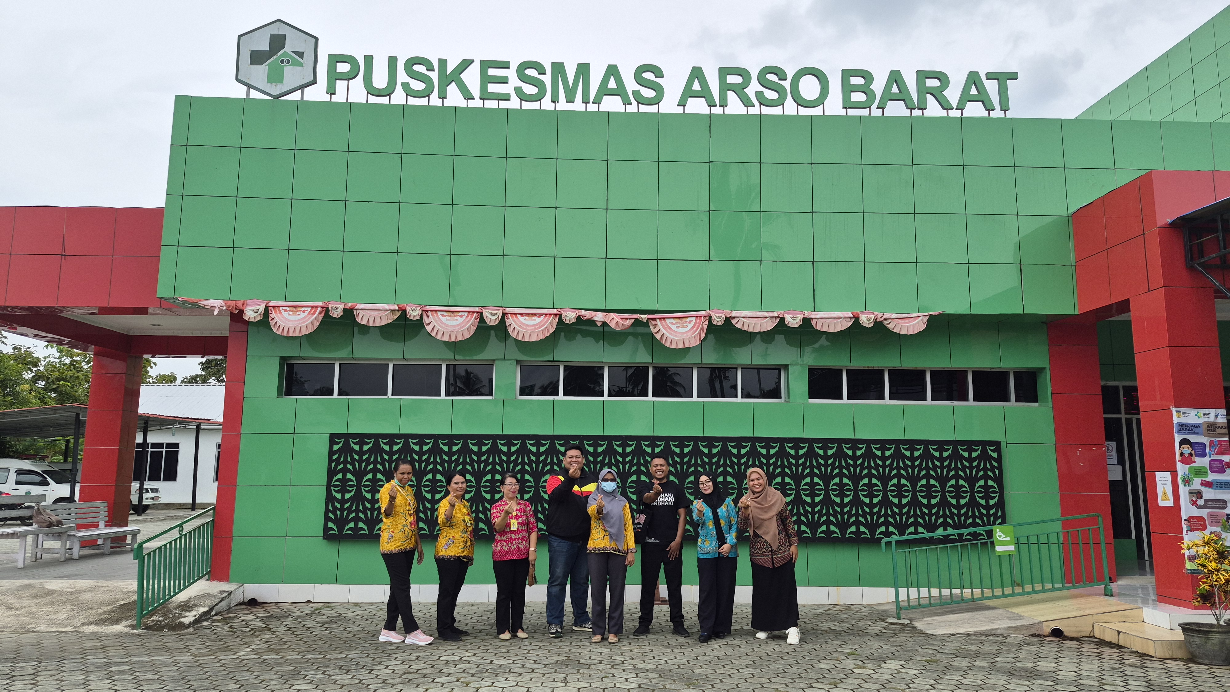
The efforts to control malaria in Papua continue to be strengthened through more accurate and integrated data-driven approaches. One strategic measure undertaken is the updating of household coordinate data in Dukwia Village (Arso 8) and Yammua (Arso 6), Keerom Regency, which fall under the service area of the Arso Barat Community Health Centre. This activity serves as a follow-up to previous interventions, including the 2023 Mass Drug Administration (MDA), which successfully reduced malaria incidence but still requires more precise spatial data to ensure that interventions are effectively targeted.
This data updating exercise aims to improve the accuracy of household spatial information through the refinement of GPS coordinates, validation of the number and distribution of households, and integration with malaria programme data. In addition, the activity is focused on strengthening the capacity of community health volunteers and the Puskesmas field team in the use of GPS-based data collection technologies.
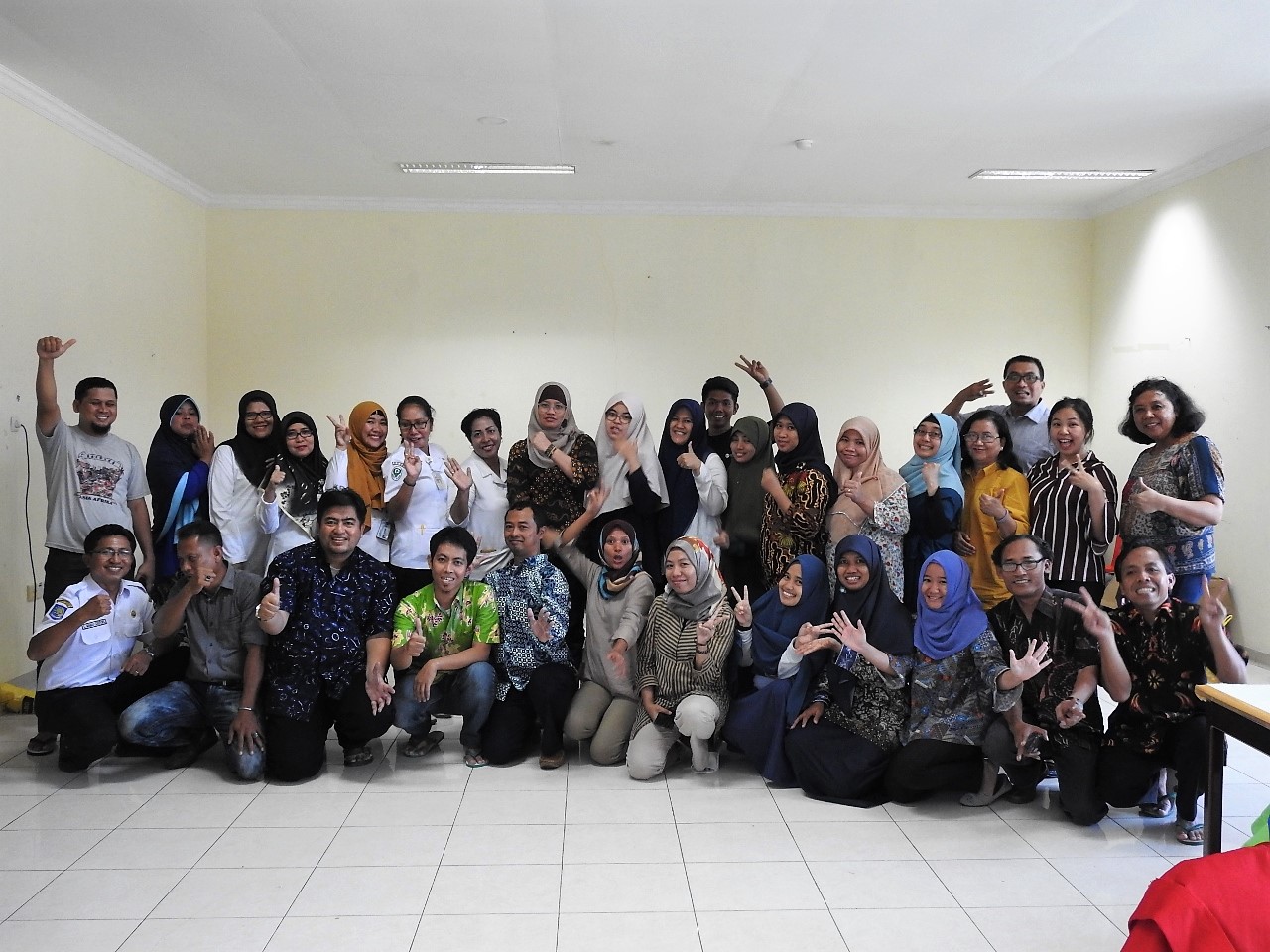
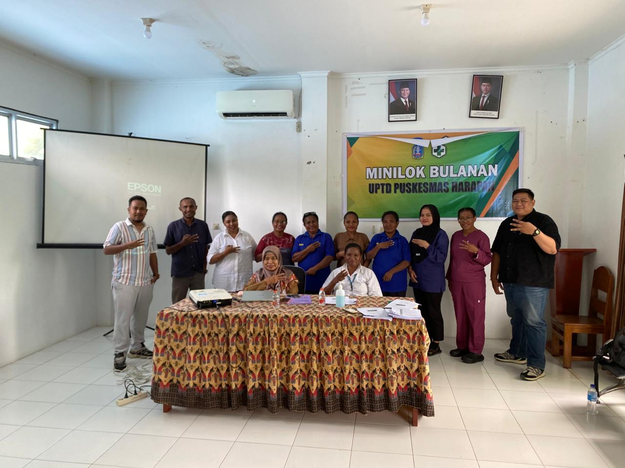
The implementation of the activity began with coordination involving the District Health Office, the Community Health Centre, and village authorities, followed by training on the use of the Epicollect5 application on 5 March 2026. Within a short period, community health workers (Kader) were able to master the application and immediately apply it in the field. Data collection was conducted door-to-door by the CHW from 6 to 8 March 2026, using a flexible approach, including adjustments to working hours during the month of Ramadan.
A total of seven health workers in each village, supported by Community Health Centre staff as well as partners from OUCRU Indonesia and PERDHAKI, were actively involved from the training phase through to the collection of household coordinate points. As a result, 430 household coordinate points were recorded in Dukwia Village and 606 in Yammua. The data collection process proceeded smoothly, with volunteers demonstrating significant improvements in their skills within just a few days—also supported by their prior experience in similar coordinate data collection activities in previous years.
This activity demonstrates that cross-sector collaboration, supported by the appropriate use of technology, can generate high-quality data within a relatively short period. With the availability of more accurate and validated spatial data, it is expected that the planning and implementation of malaria interventions in this area can be carried out more effectively, efficiently, and with greater precision in targeting.
Tags:

Tags:

