Posted By
About Us
Lorem ipsum dolor sit amet, consectetur elit, sed do eiusmod tempor incididunt ut labore et magna aliqua.
Get a free quote
Strengthening Spatially-Based Malaria Surveillance in Jayapura Regency through Household Data Updating
-

-
Published on
April 01, 2026
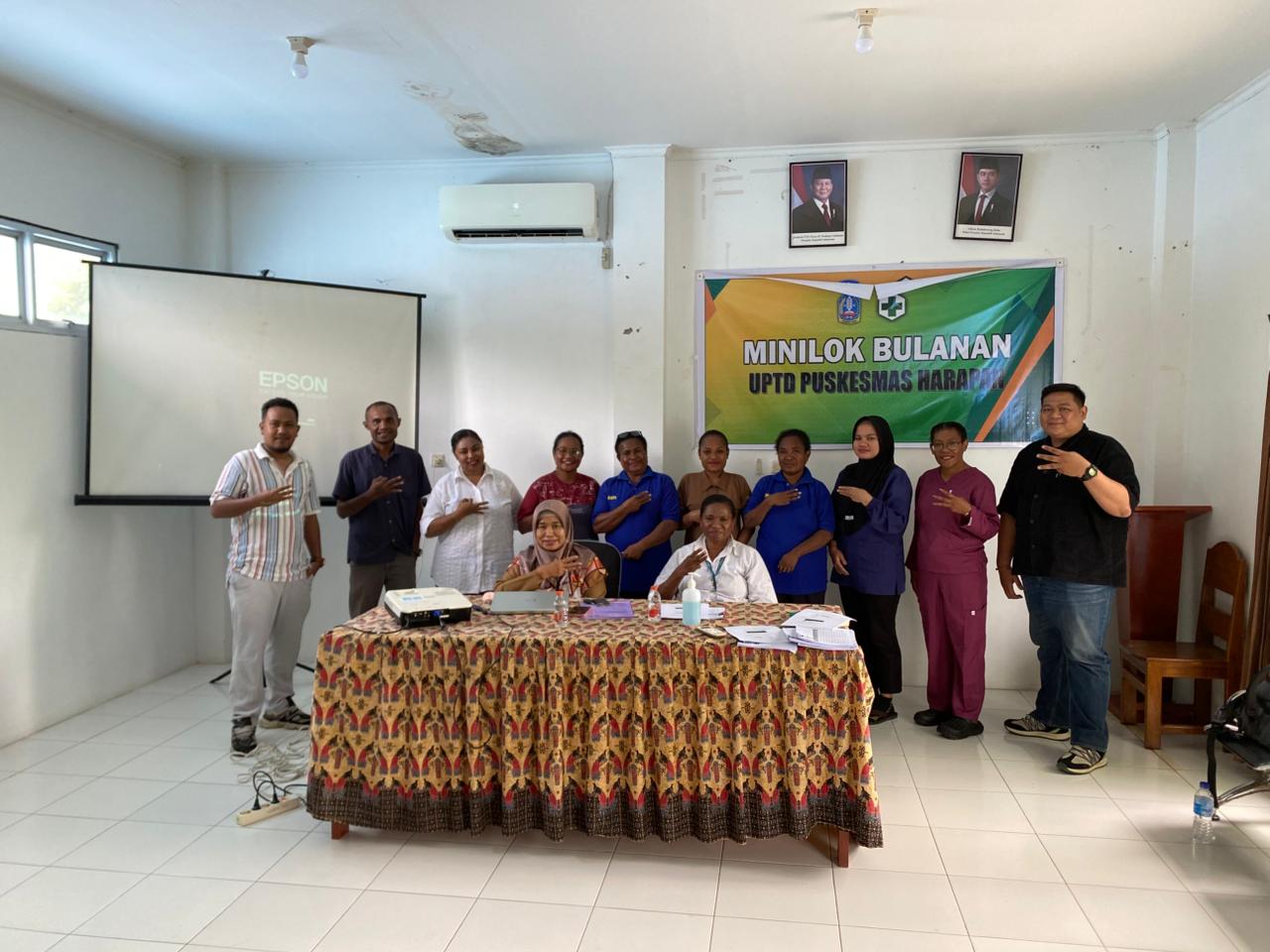
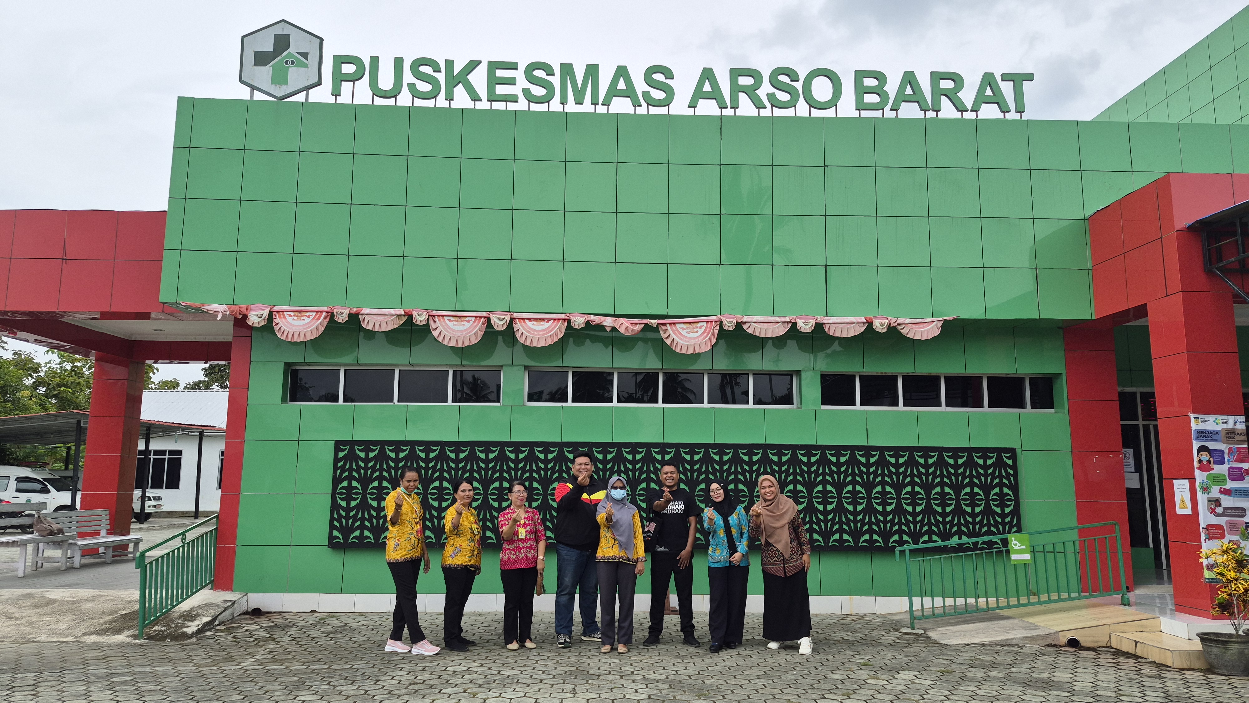
Following the completion of household coordinate data updating activities in the working area of PKM Arso Barat, Keerom District, a similar initiative was carried out in the working area of PKM Harapan, Jayapura District, specifically in the two villages of Asei Besar and Nendali. As in Keerom, the activities in Jayapura were implemented as a follow-up to the successful Mass Drug Administration (MDA) intervention conducted in 2023, which demonstrated a reduction in malaria incidence. The availability of accurate household location data is essential to ensure that interventions are more precisely targeted and effectively delivered.
The activity was carried out in March 2026 within the catchment area of Puskesmas Harapan, covering the villages of Asei Besar and Nendali in Jayapura District. The process commenced with training on the use of the Epicollect5 application on 10 March 2026, attended by 14 participants from various sectors, including the District Health Office, Public Health Center staff, community health workers, and representatives from partner organisations. The training extended beyond a basic introduction to the application, incorporating hands-on practice in collecting geographic coordinates as well as guidance on data entry standards and validation procedures.
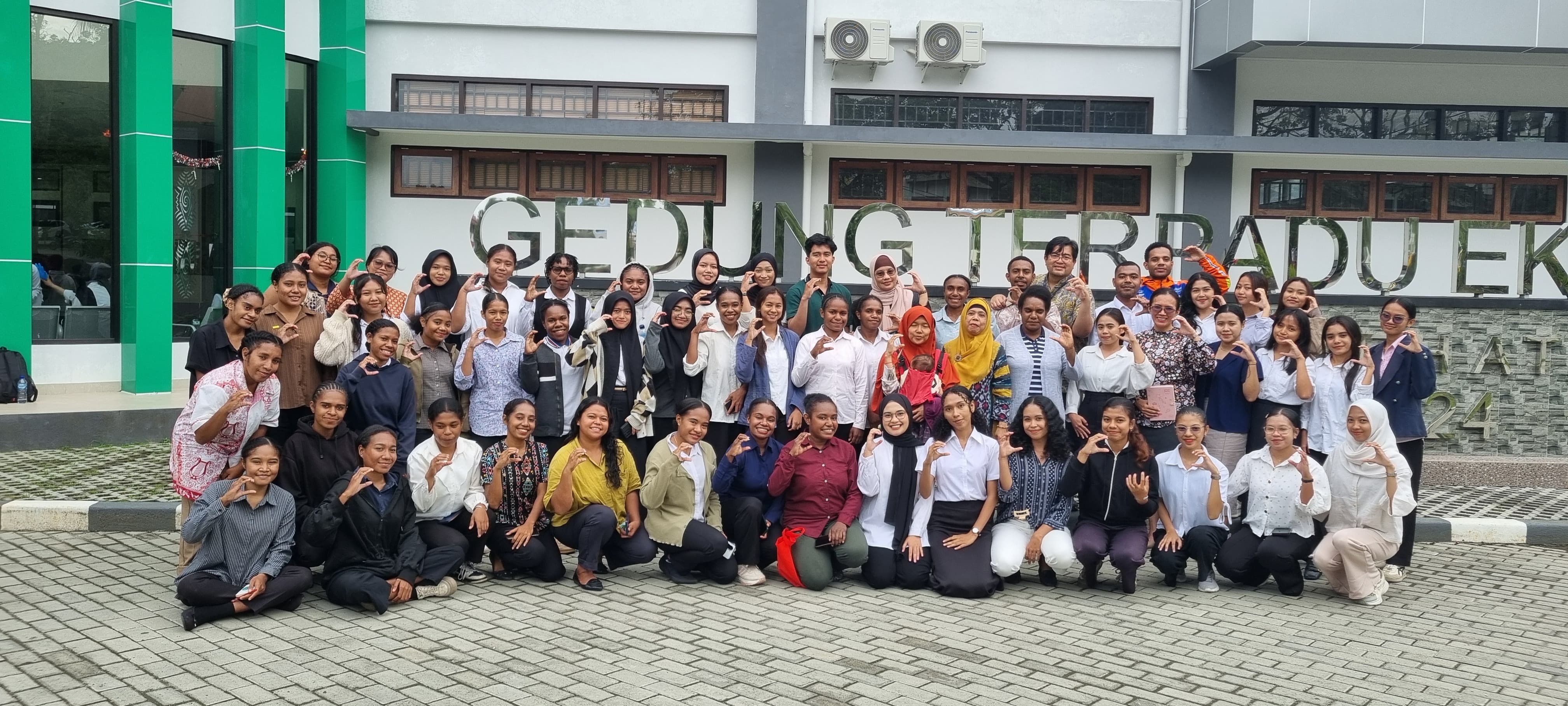
Data collection was conducted over four days, from 11 to 14 March 2026, using a door-to-door approach. Each household was recorded by documenting the head of household, the number of occupants, and capturing GPS coordinates, which were subsequently assigned a unique identifier. The process was supported by daily supervision to ensure data quality was maintained through continuous validation and regular synchronisation.
The results of the activity demonstrate substantial achievements. In Asei Besar Village, the team successfully collected 168 household coordinate points, while in Nendali Village a total of 642 household coordinates were recorded. The combined total of 810 coordinate points reflects extensive and detailed coverage, particularly given the geographical context of the area, which spans both mainland and the aquatic zones of Lake Sentani. Challenges in accessing households located along the lakeshore were effectively addressed through cross-team collaboration, including the involvement of auxiliary health centre midwives, community health facilitators, and technical personnel from the District Health Office.
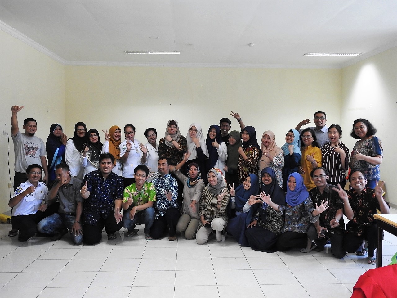
The limited number of community health volunteers in the field also presented a notable constraint. However, additional support from health workers and programme partners enabled the activities to proceed in line with the planned schedule, albeit with necessary operational adjustments. Flexible allocation of working areas, alongside consistent daily coordination, proved critical in maintaining the overall effectiveness of implementation.
Overall, the activity successfully enhanced the availability of more accurate and validated spatial household data. This dataset provides a critical foundation for planning malaria interventions that are more effective, efficient, and precisely targeted at the village level. The achievement also underscores the importance of cross-sector collaboration between local government, health facilities, community health volunteers, and development partners.
With a strengthened data foundation, efforts to accelerate malaria elimination in Jayapura regency are expected to become more strategic and sustainable, while also serving as a model for strengthening spatially driven surveillance systems in other parts of Papua.
Tags:
Tags:

