Posted By
About Us
Lorem ipsum dolor sit amet, consectetur elit, sed do eiusmod tempor incididunt ut labore et magna aliqua.
Get a free quote
Utilization of Drone Technology for Malaria Vector Control in Papua
-

-
Published on
November 12, 2025
Malaria remains one of the most significant public health challenges in Papua, particularly in areas with high transmission such as Mimika. Current control efforts continue to face numerous obstacles, especially in addressing residual transmission that occurs outdoors, when Anopheles mosquitoes seek blood meals or rest outside indoor environments. Effective malaria control requires a combination of strategies that target both larval and adult mosquito populations. A key factor for success is the ability to accurately identify and map water bodies that have the potential to serve as mosquito breeding sites.
Recent advances in remote sensing technologies, particularly the use of drones, offer promising opportunities to support these efforts. Drones are capable of capturing very high‑resolution environmental imagery at local scales-something that is difficult to achieve using satellite imagery or manual field surveys alone. Such high‑resolution images can help identify small pools of standing water that may function as mosquito breeding habitats.
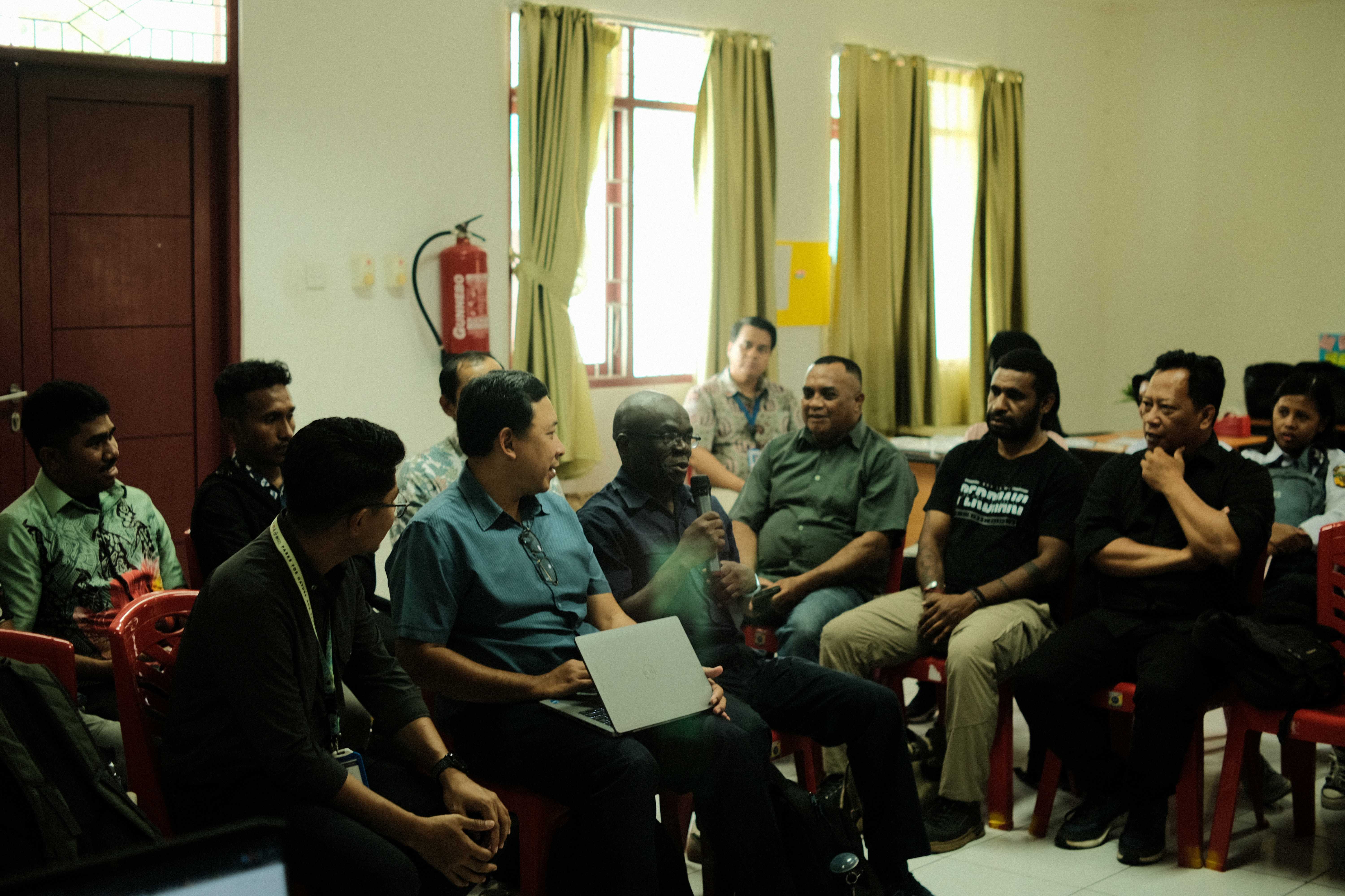
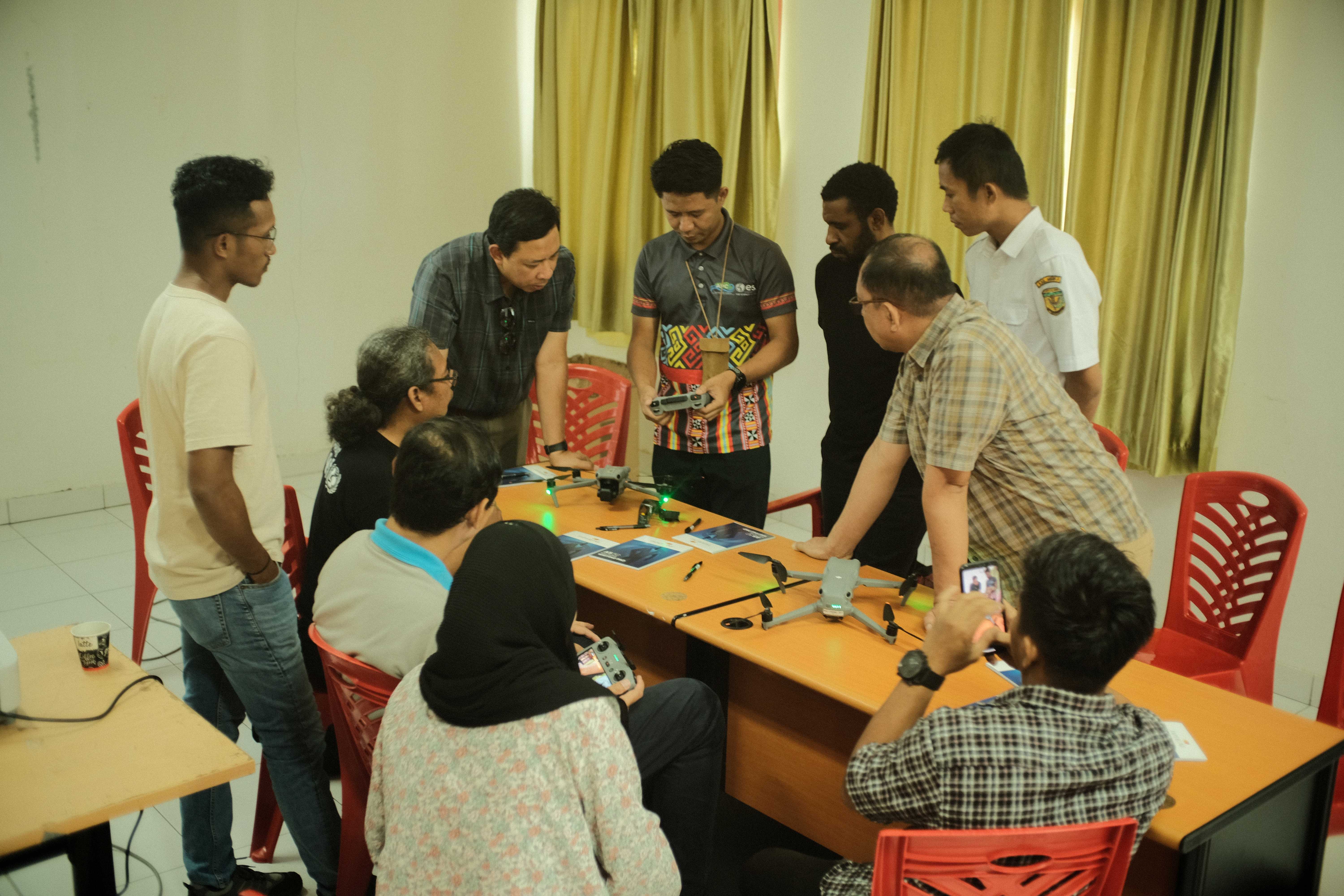
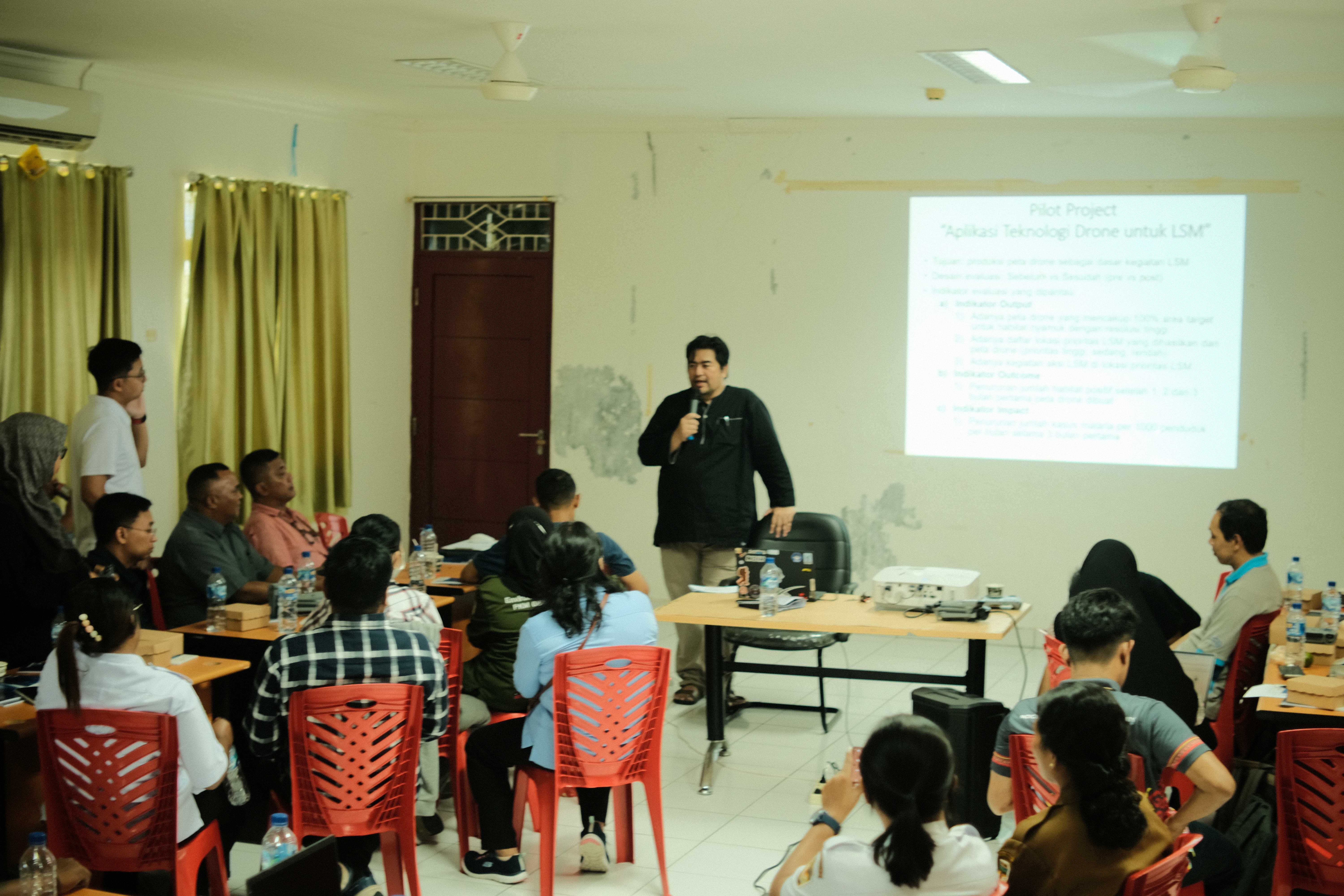
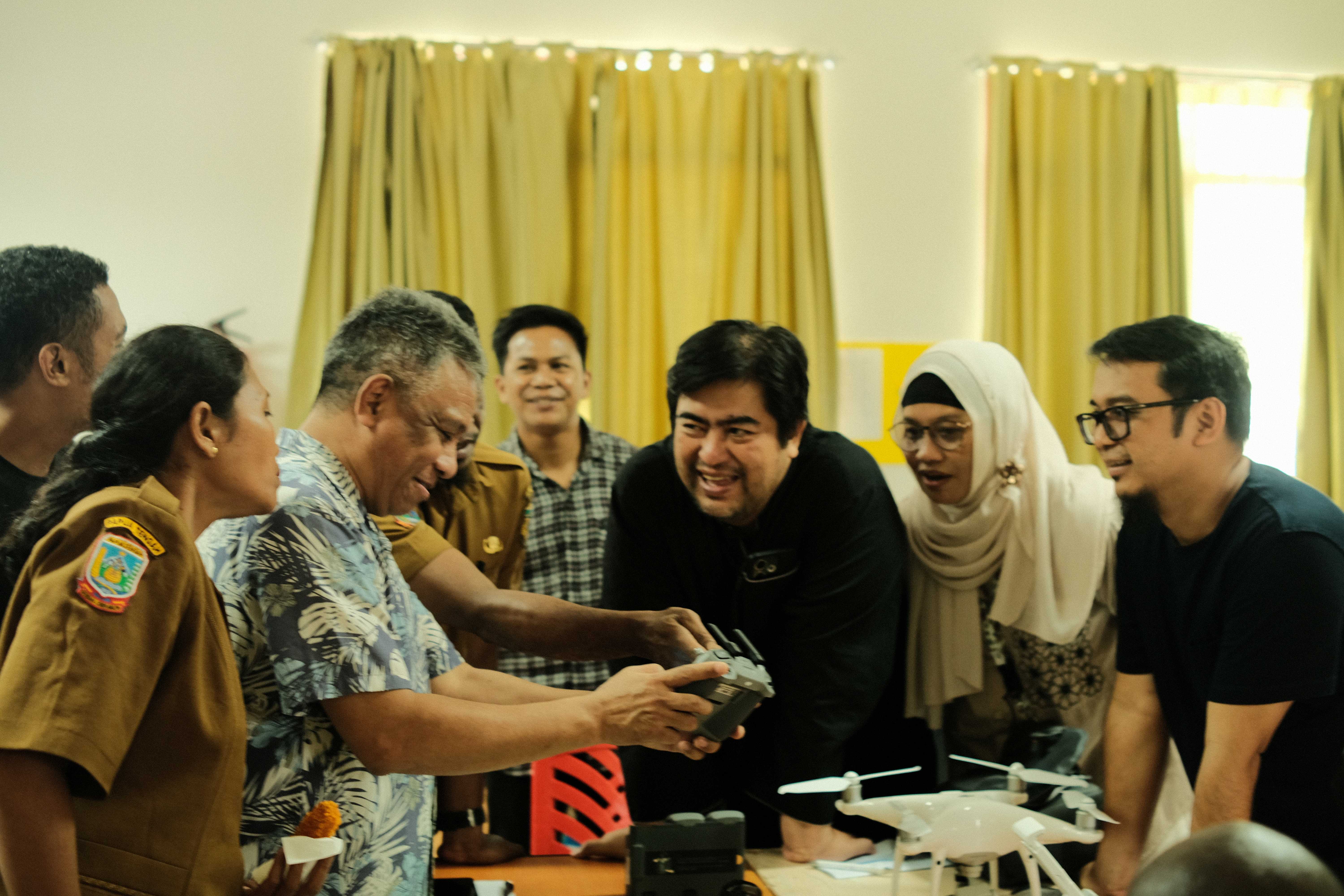
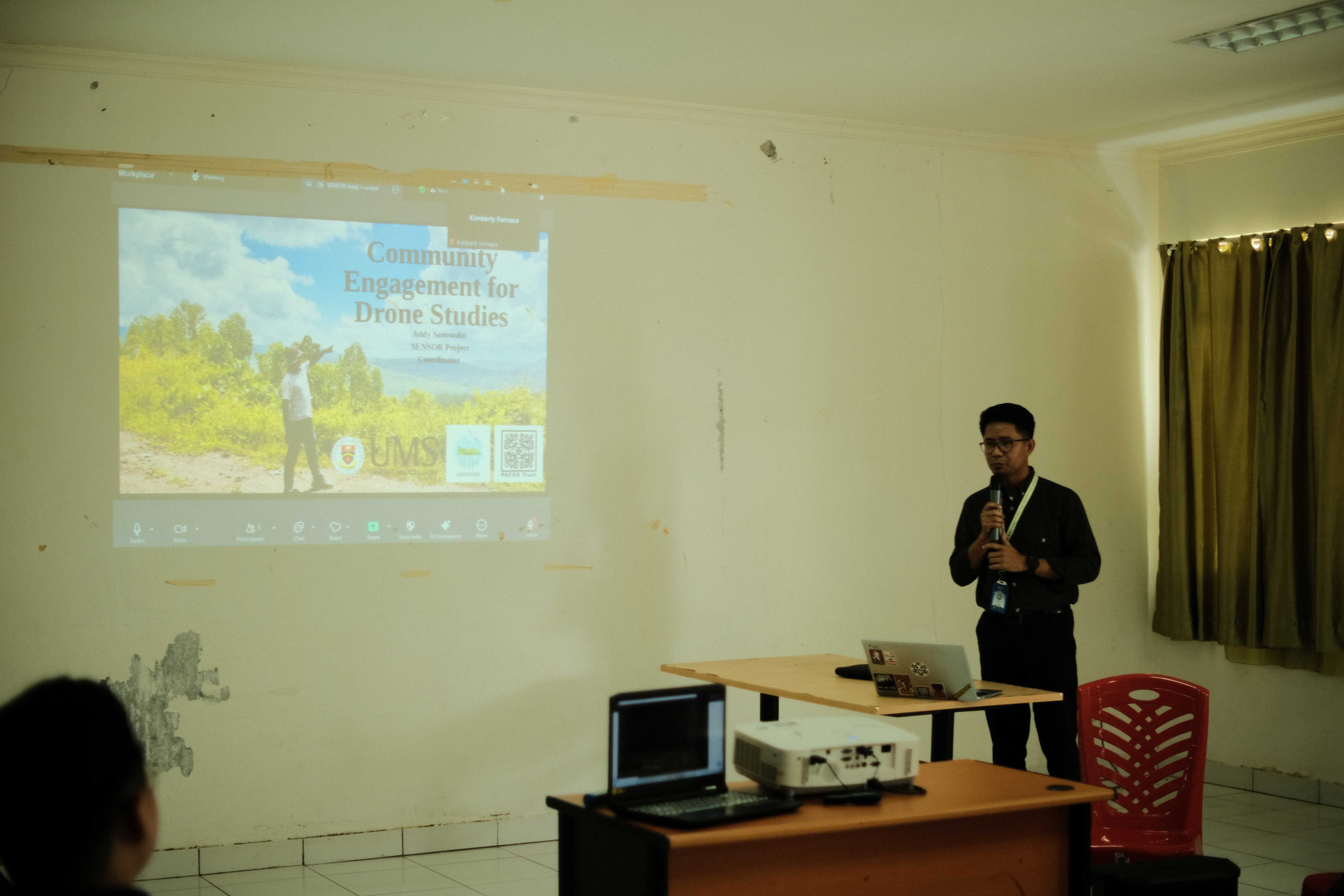
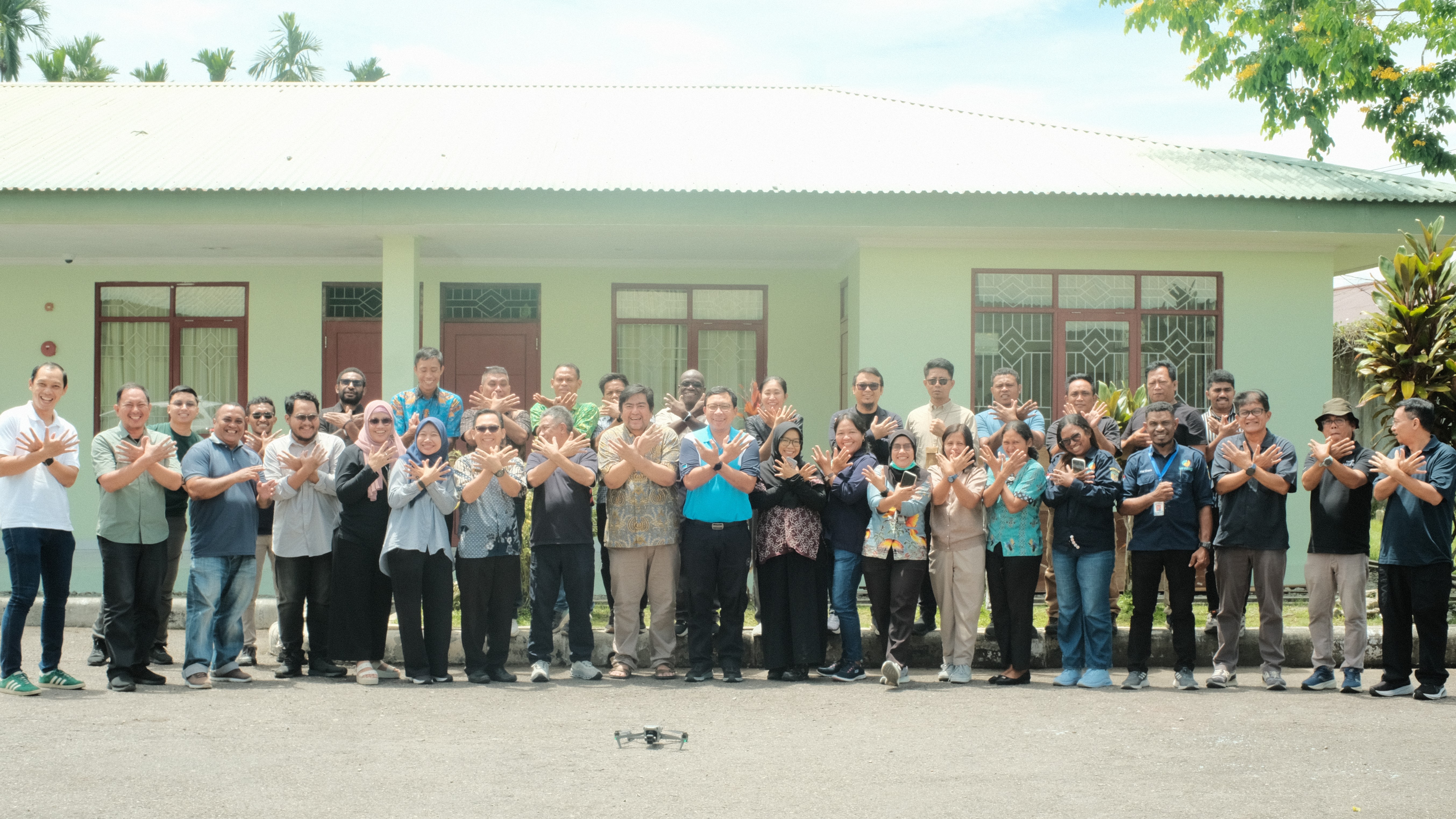
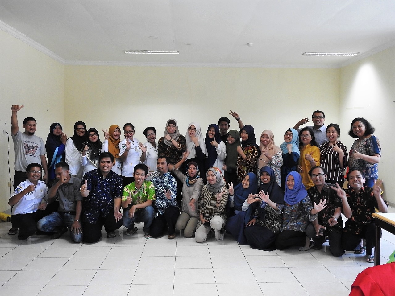
A workshop on the utilization of drone technology was held from 20-24 October 2025 at the Amungme and Kamoro Community Empowerment Foundation (YPMAK) in Timika. The activity was organized by SHIELD PAPUA in collaboration with UNICEF Indonesia and the Mimika Regency Health Office. More than thirty‑five participants attended, representing the Ministry of Health, UNICEF Indonesia, the Mimika Regency Health Office, community health centers (puskesmas), Kupang Polytechnic, YPMAK, Public Health and Malaria Control of PT Freeport Indonesia, and PERDHAKI.
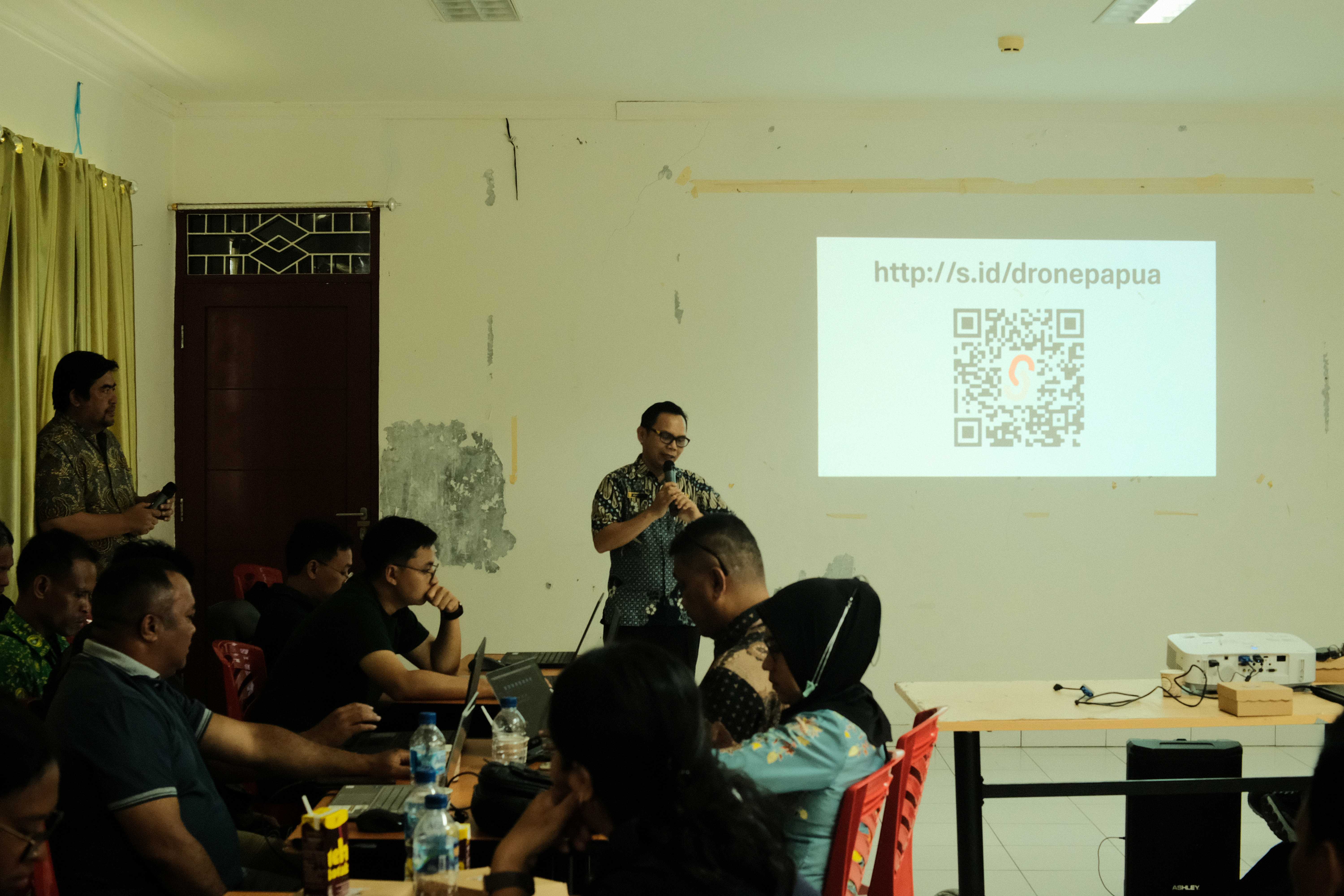
The workshop refreshed participants’ knowledge on several key topics, including:
- Malaria control practices and vector surveillance
- Examples of drone use for mapping mosquito habitats, including experiences from Sabah and Sarawak in Borneo
- An overview of drone technology and operational software
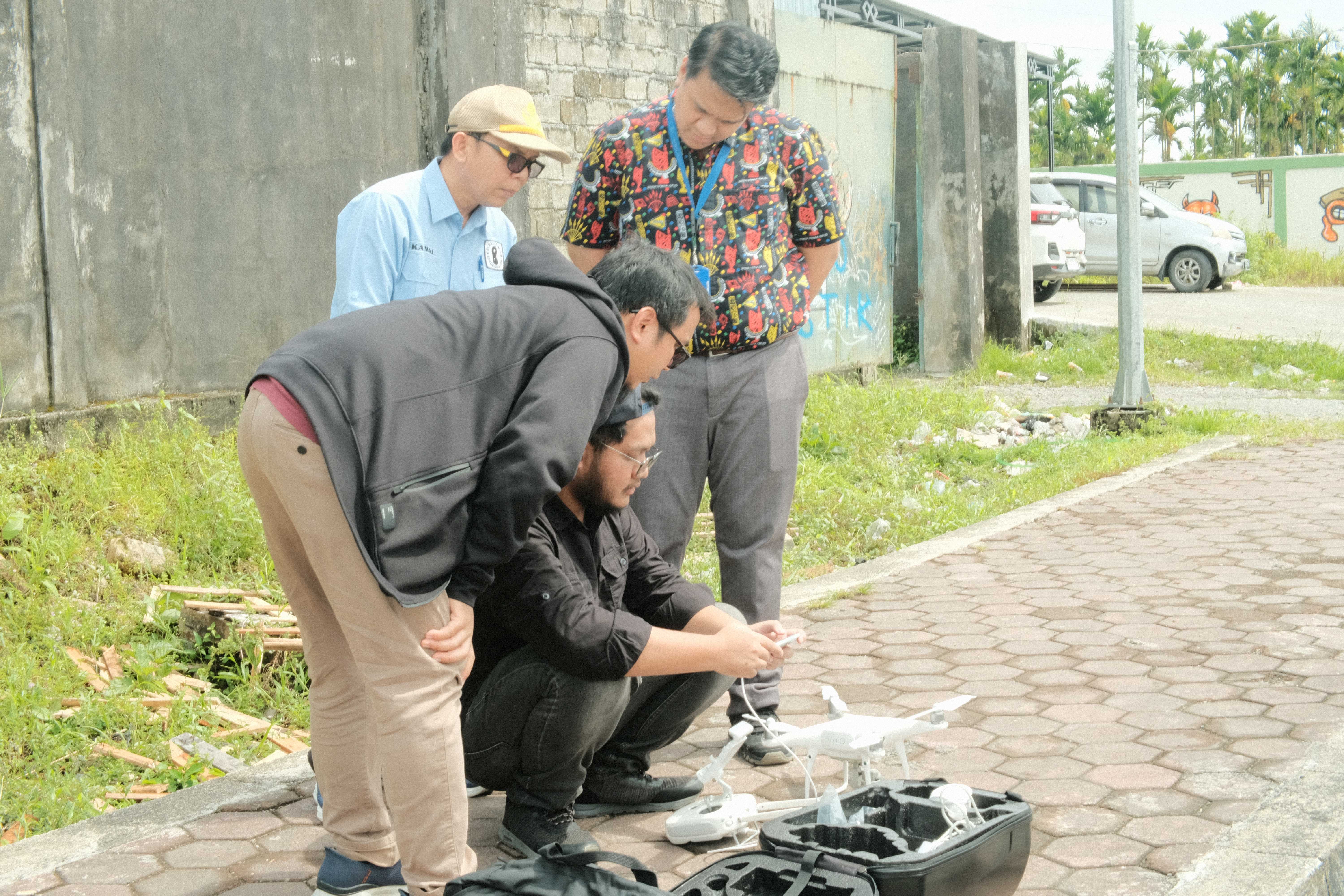
- Pre‑flight inspections and simulations, including physical and system checks, compass calibration, GPS verification, sensor testing, environmental condition assessment, and take‑off and landing simulations
- Mission planning exercises, covering the definition of survey areas, flight parameter settings, weather condition assessment, and field team preparation
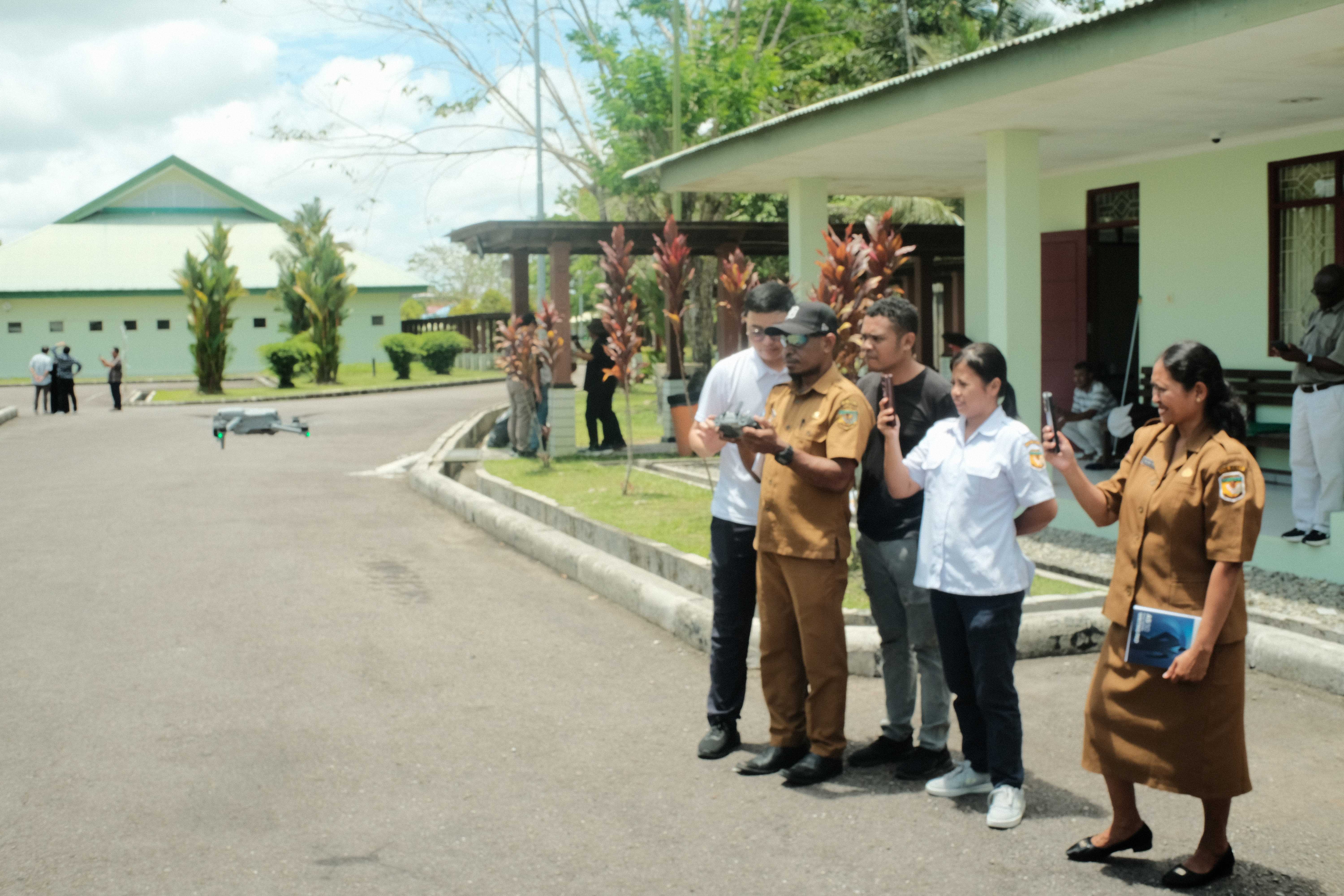
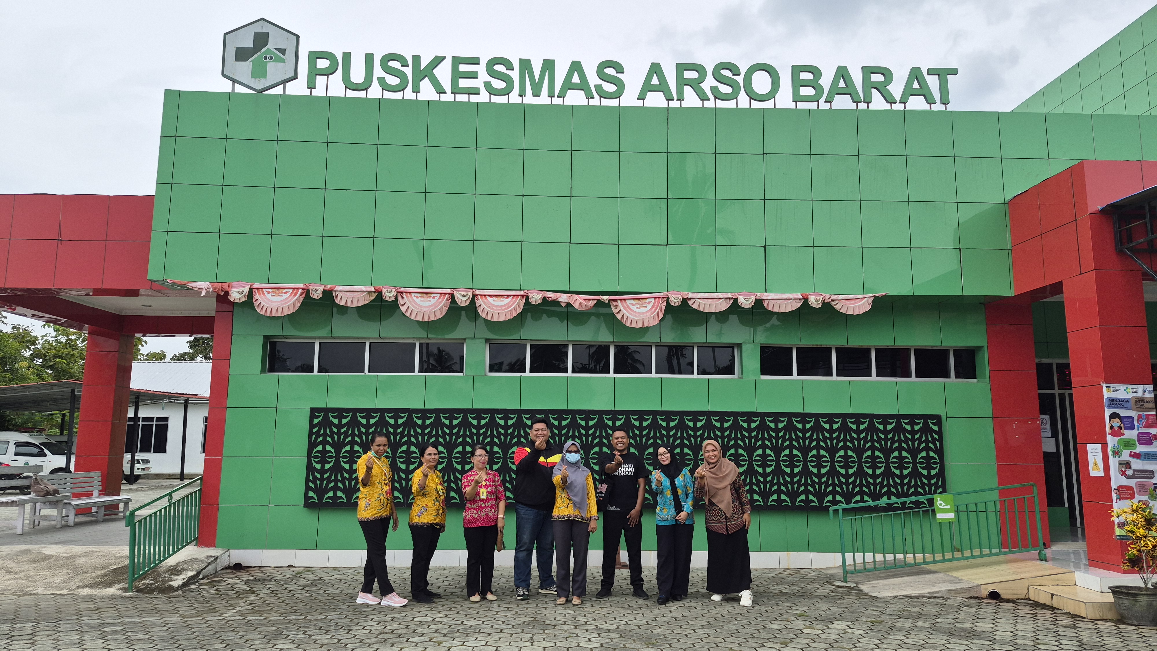
Drone flights were conducted at Pasar Sentral, one of the areas with the highest malaria incidence in Mimika. Upon returning from the field, participants learned how to mosaic and prepare aerial imagery for further analysis.
Looking ahead, this workshop is expected to promote the broader use of drone technology to monitor environmental conditions associated with diseases such as malaria, dengue, leptospirosis, and diarrhea. By enhancing the ability to detect and map high‑risk areas, drone‑based mapping can support public health programs in becoming more targeted and effective.
Tags:
Tags: